


沖縄 波照間島沖の中国調査船 漁船が先導か 調査会社分析
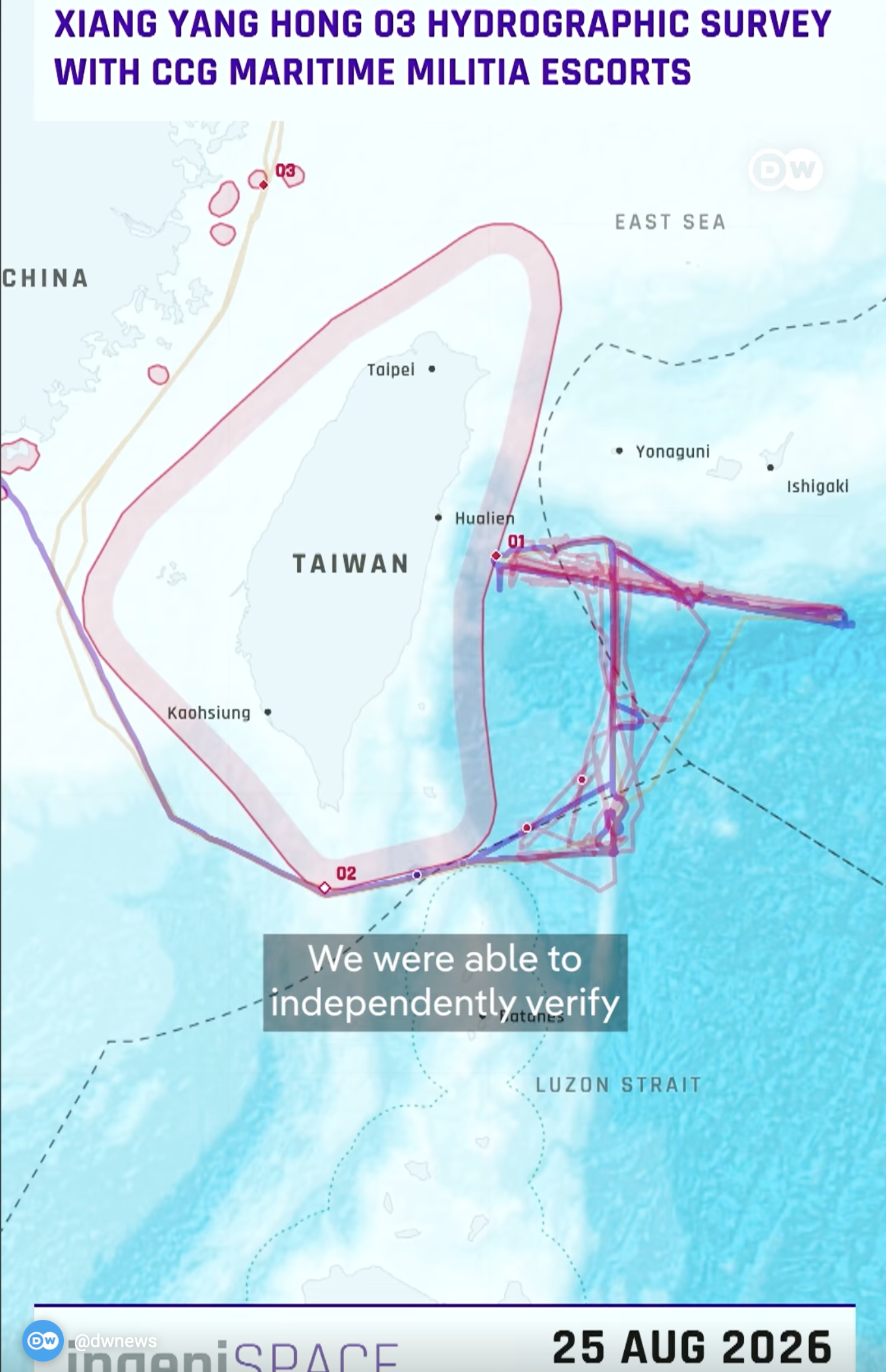
In August, a Chinese marine research ship was observed operating within Japan's Exclusive Economic Zone (EEZ) off Hateruma Island, trailing a wire-like object from its stern.
"ingeniSPACE," a US-based military research and analysis firm, analyzed the vessels' positional data and concluded that a Chinese fishing vessel, likely, PAF-Maritime Militia, was leading the research ship.
Are China's research vessels plotting a route to war? - DW News
China has, for the first time, publicly acknowledged that its research vessels are surveying disputed shoals in the South China Sea. Beijing says the ships are conducting scientific research. Critics say they're gathering data that could strengthen China's territorial claims and military capabilities. So what are these vessels really looking for?

3rd Annual International House Journalism Award -
Prof. Chisako Masuo’s research on China’s fishing-fleet mobilisation — work our analysis supported — was honoured in Japan’s I-House journalism awards.
AFP China Deploys Record Number of Ships Around Taiwan as Pressure Grows
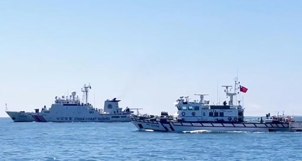
Taiwan's coast guard logged more Chinese government ships in its waters last month than in any month on record. Pressure has stopped being episodic.
China Maritime Militia Tied to Taiwan Undersea Cable Damage in Suspected Gray-Zone Operation
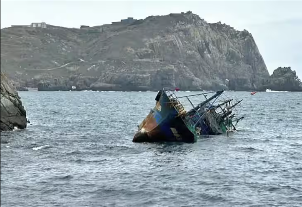
Two vessels with documented maritime-militia training histories were present when the cable to Taiwan's outer islands went down. Not a coincidence.
New Construction in Taiwan’s EEZ Demands a Closer Look —JAMESTOWN CHINA BRIEF
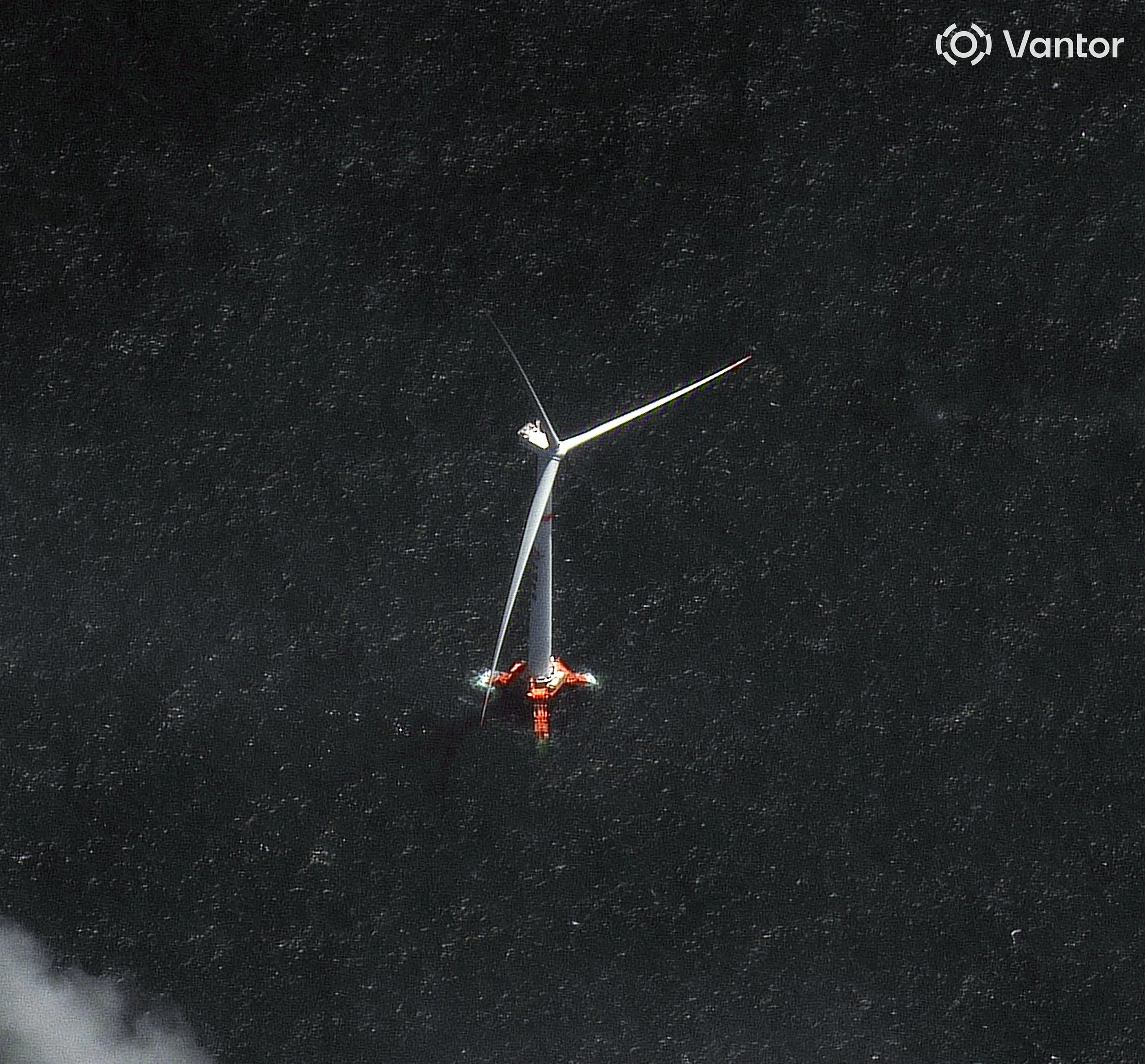
An operational CNOOC wind turbine now stands inside Taiwan's EEZ,. Celebrated by PRC media, the coverage uniformly neglected to mention one crucial detail: the Haiyou Anlan wind turbine has been installed in Taiwan’s exclusive economic zone (EEZ). This is not the first time.
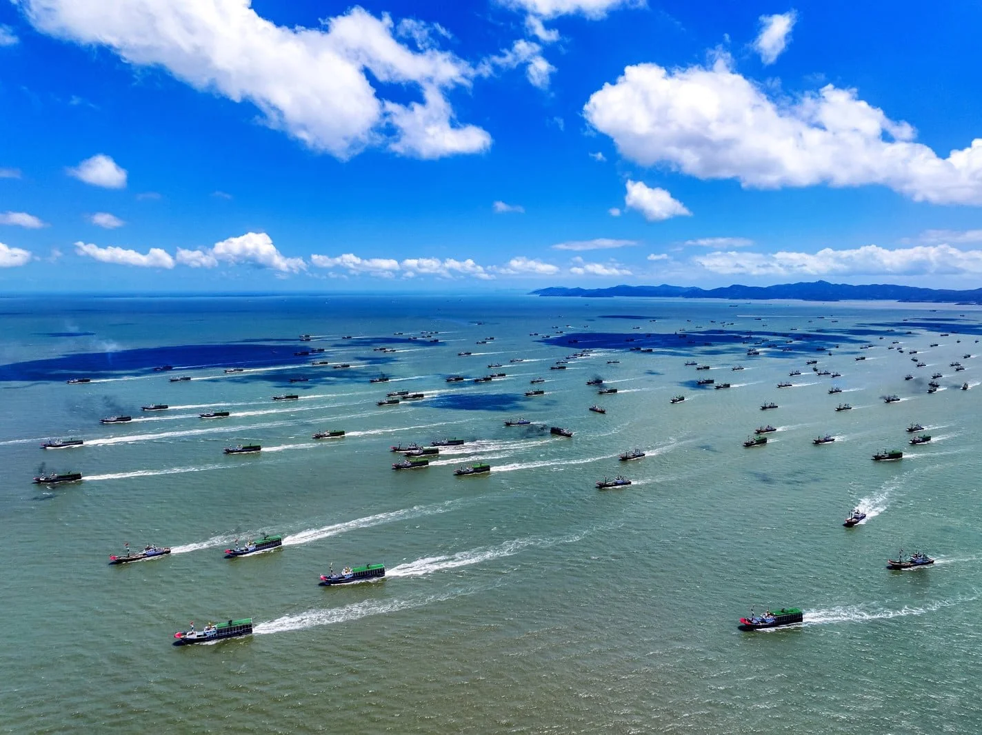
China’s “Shadow Fleet” Is Growing More Active at Sea - The Economist
Fewer aircraft, more maritime coercion. China's new normal around Taiwan is not de-escalation — it is a switch to the quieter instrument of pressure: China’s Maritime Militia. Moreover, the question was never whether the PLA has enough hulls. It is whether it can move, sustain and conceal a campaign in several places at once.
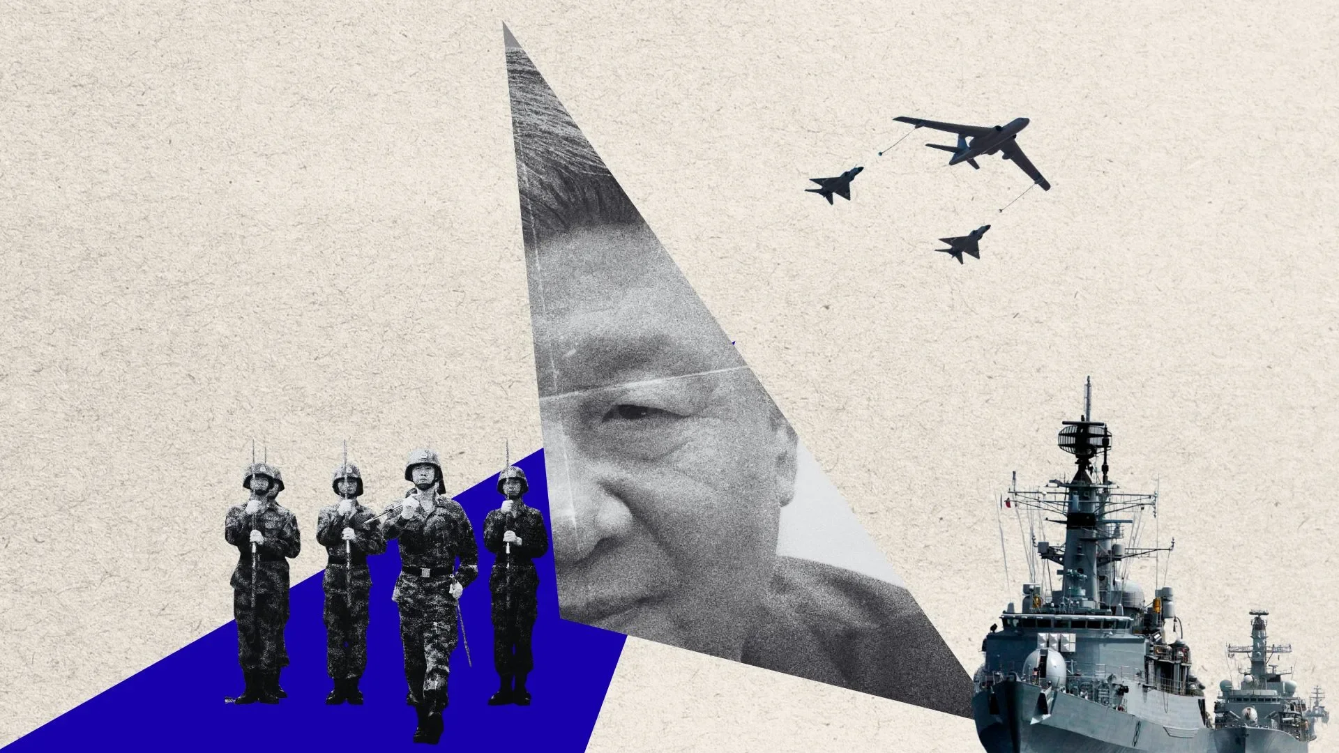
La «nueva normalidad» de China en torno a Taiwán: menos aviones y más coerción marítima
Fewer aircraft, more maritime coercion. China's new normal around Taiwan is not de-escalation — it is a switch to the quieter instrument of pressure.

RTI’s Taiwan Monitor: Tausend chinesische Fischerboote in Formation: China's Maritime Miliz
China's coast guard operates as an instrument of state power, not law enforcement. The manoeuvre east of Taiwan was aimed at Washington's allies too.
![TAGESSCHAU: Warum Chinas „Fischerflotte“ plötzlich Mauern im Meer baut [Why China’s “fishing fleet” is suddenly building walls in the sea]](https://images.squarespace-cdn.com/content/v1/60bdda78c9bca3296685d761/1781078862234-HDRAL80POQKGF1M9YLR7/tagesschau+rabbit+hole+graphic.png)
TAGESSCHAU: Warum Chinas „Fischerflotte“ plötzlich Mauern im Meer baut [Why China’s “fishing fleet” is suddenly building walls in the sea]
December, January, March — three times, hundreds of Chinese fishing boats formed lines at sea. Tagesschau asked the obvious question: were they fishing?
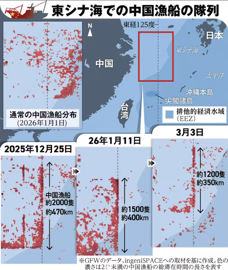
人民解放軍の戦区またぐ動員に「上層部」の影…中国漁船の異常隊列、日本の脅威に
Twice — late 2025 and again in January — up to 2,000 fishing boats formed a wall near the median line. We built the case from AIS and satellite imagery.
Thousands Of Chinese Boats Mass At Sea, Raising Questions
Thousands of Chinese fishing boats, massing in large formations that stand hundreds of KM in the East Sea. Fleets cluster where fish are; they do not hold angles.
U.S.-China Economic & Security Review Commission - China Bulletin: February 4, 2026
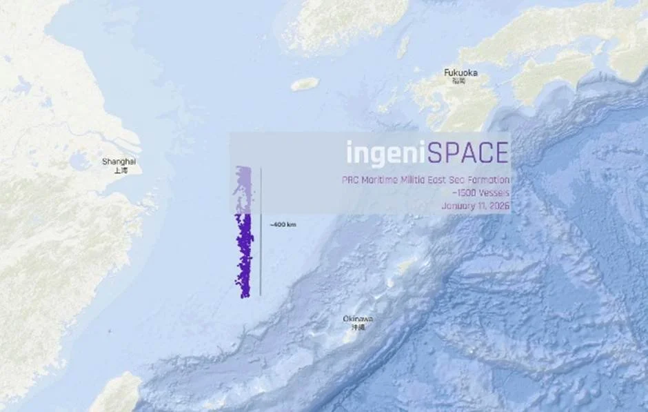
China is marshalling thousands of fishing vessels in drills that impede movement through the East China Sea. Obstruction is an underrated capability.

China appears set on militarizing another reef in the South China Sea
The geospatial firm ingeniSPACE first noticed the phenomenon, as 2,000 Chinese vessels created this formation from Dec. 25-27 in waters northeast of Taiwan.
This coordinated activity occurred just three days before China announced a major exercise circumscribing Taiwan. Dubbed Justice Mission-2025, the PLA exercise was designed to browbeat Taiwan and rehearse the implementation of a naval blockade.
Something similar took place from Jan. 9-12, when some 1,400 Chinese fishing boats formed a 200-mile-long “barrier” for more than 30 hours, according to automatic identification system data.
OP-ED: Securing Taiwan’s submarine cables - Taipei Times
Distributed acoustic sensing (DAS) specifically addresses this challenge. DAS detects, classifies and tracks activity along the entire length of a cable by turning the cable itself into a sensor.
Rigging the Game: PRC Oil Structures Encroach on Taiwan’s Pratas (Dongsha) Island
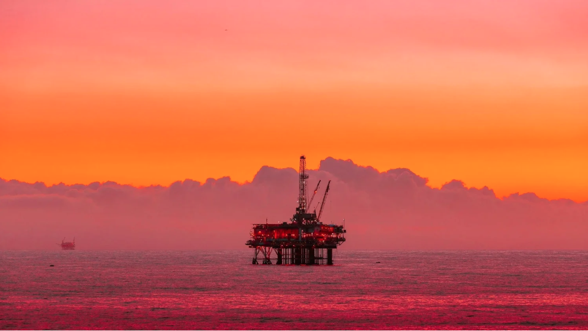
Beijing’s relentless pressure on Taiwan now includes oil rigs: twelve permanent or semi-permanent structures and dozens of associated ships. The structures, which are owned by state-owned firm CNOOC, include seven rig structures, three floating production storage and offloading (FPSO) vessels, and two semi-submersible oil platforms. All are located within Taiwan’s claimed exclusive economic zone (EEZ) near Pratas/Dongsha Island.

Clouds Over China: A Challenge to Intelligence Gathering
China's persistent cloud cover is not a nuisance for analysts — it is exploitable cover for moving PLA military and dual-use civilian assets, and an argument for radar satellites over electro-optical.