

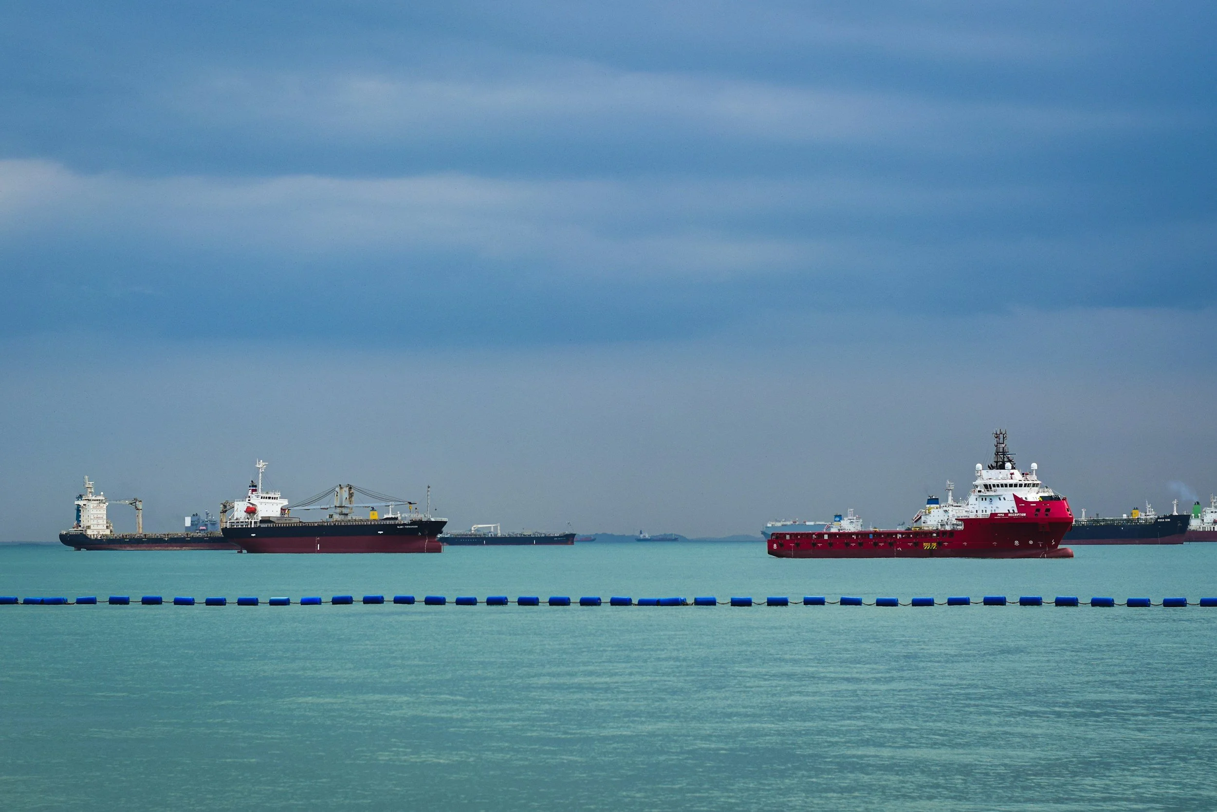
View real-time and historical vessel movements anywhere around the globe
We continually ingest and analyze global automatic identification system (AIS) data from exactEarth, S&P Global Market Intelligence, and Spire — combining the world’s most comprehensive providers. Managing the volume and variable quality of global AIS is a complex big data challenge. We’ve overcome this with a mix of proprietary and open source algorithms and machine learning models. We identify events such as port visits, fishing activity, when two vessels meet at sea, and more.
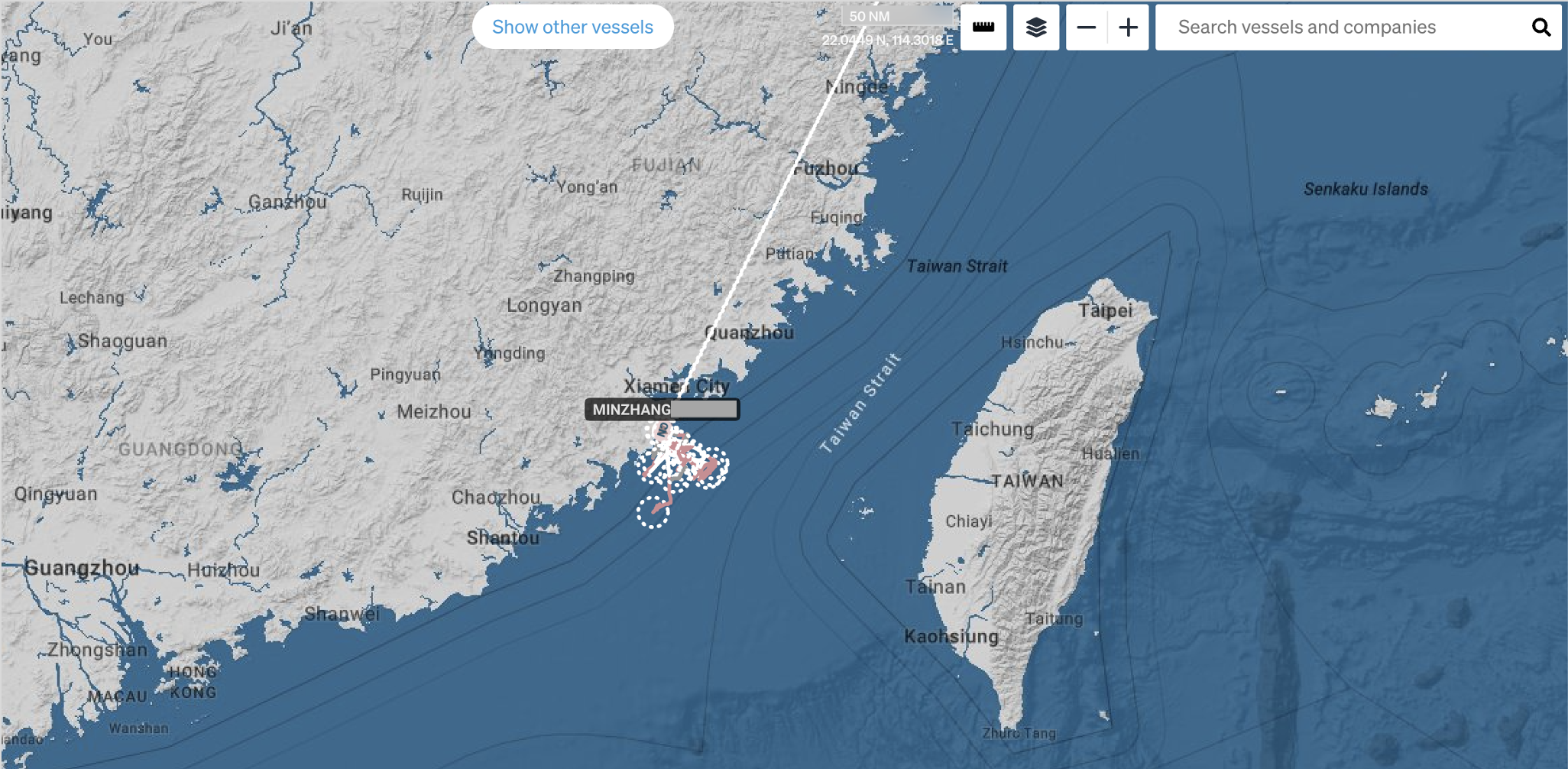
Understand maritime activity in and around your exclusive economic zone
-
Understand which vessels to focus on and why. Arriving vessels are analyzed with bespoke risk models built upon multiple data sources to highlight which vessels are high risk. Currently arriving vessels are assessed for certain biosecurity threats.
-
Quickly focus on arriving vessels by removing the multitude of ships already in your area of interest, and shift your attention to only those that are entering from international waters.
-
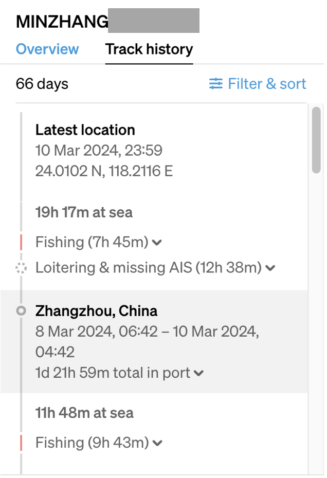
Interrogate a vessel’s past, with port visits and key events highlighted in the track history timeline and available from the vessel report page.
-
Cut through the noise and identify a wide range of anomalous vessel movements.
“Get from this” to “actionable intelligence”
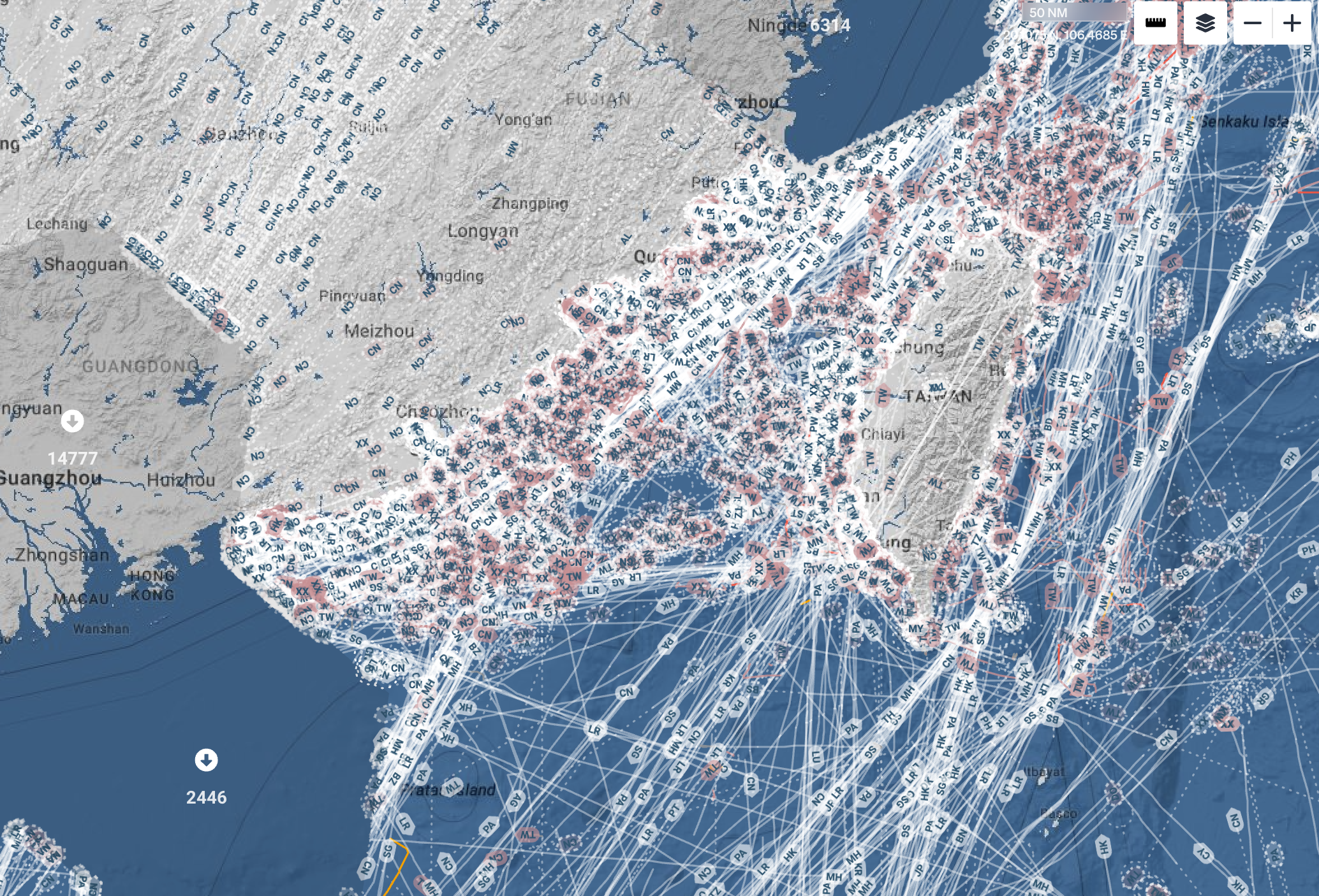

Monitor areas and vessels of interest
-
Two vessels meeting at sea may mean they are exchanging items such as fuel, fish, people, or goods. These encounters are detected, flagged, and recorded in the vessel’s history, showing you the length of the encounter and the vessels involved.
Tracking these on-water encounters and vessel networks helps you to see the movement of goods between continents and nations and understand which commercial networks exist that may otherwise be hidden.
-
See marine protected areas with vessels and fishing activity overlaid on top. Analyse real-time fishing movements, or study historical fishing patterns broken down by flag state. Whether a vessel is fishing or not is established through a machine learning model developed by Global Fishing Watch.
-
Keep track of your vessels of interest and enable your whole organization to see, manage, and monitor them. Tags can help manage processes like vessel assessments, inspection, and surveillance planning.
-
You can set up to send automatic email alerts to you and your team for specific behaviors, ranging from when a particular vessel enters or exits your territorial waters to when any vessel from a foreign port enters your area of interest.
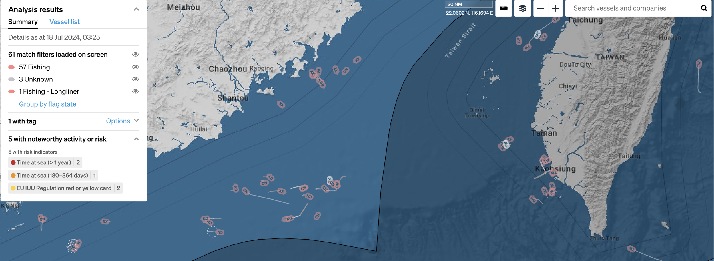
Improve collaboration by working from a shared, common operating picture
-
Different teams have differing areas of responsibility, but often a shared requirement to understand the maritime domain and how it relates to their work. We support different teams with different analysis types.
Currently there are three analysis types:
• All activity
• Fishing (includes WCPFC, FFA, and IOTC vessel registration information)
• Biosecurity risk (flags vessels for certain pests, based on their history) -
We work on any device with an internet connection, enabling critical information to be accessed by a frontline staff member with a mobile device, as well as a team of analysts viewing a large situational awareness screen on an office wall.
Any view in our product can be shared with another user by copying and pasting the URL — enabling teams to share and discuss the exact vessel, activity, and location quickly and accurately without the need to email screenshots, or download and manage complex data.
-
We work with multiple sources of data, and in partnership with customers we can integrate bespoke data sources to provide more insightful analysis.
We work in the declassified, but private and secure, domain. This enables rapid data sharing across authenticated users, without the speed and legal hurdles that come with distributing classified data. Once data is declassified, but still private, we can ingest, analyze and distribute the resulting intelligence to users in your organization.
-
Different geographic areas and maritime security challenges sometimes require new risk models and algorithm development. We have a cross-functional team of scientists and engineers that co-develop these with you, and then integrate them into our product for real-time risk assessment.
(Source: https://www.sevenslegal.com/criminal-attorney/what-information-can-police-get-from-your-phone/)